
Datasets
47 datasets published by the City of Newcastle on its ArcGIS Hub.
47 results
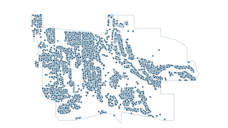 Points
Property & Zoning
AddressPoints
GIS data for address points
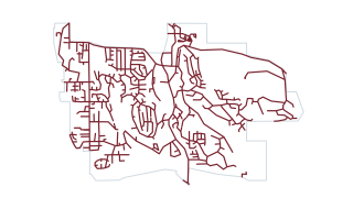 Lines
Streets & Traffic
City Streets
GIS data for the City of Newcastle
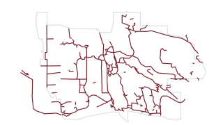 Lines
Parks & Trails
Trails Newcastle
GIS data for the City of Newcastle
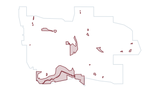 Areas
Parks & Trails
City Park Areas
GIS data for the City of Newcastle
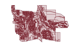 Areas
Property & Zoning
Land Uses
GIS data for the City of Newcastle
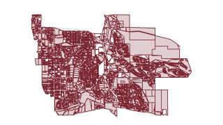 Areas
Property & Zoning
Parcels with Addresses
Parcels with Addresses
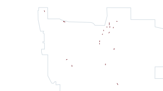 Areas
Stormwater
GSI
GSI
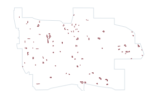 Areas
Stormwater
WQ Detention
WQ Detention
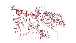 Lines
Stormwater
swGravityMain
Gravity Main
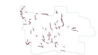 Lines
Stormwater
Open Drains
Stormwater open drains, ditches
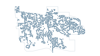 Points
Stormwater
Catch Basins
CBs
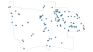
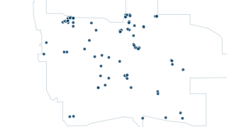 Points
Stormwater
Manholes
Manholes
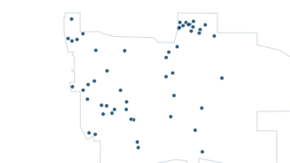
 Points
Stormwater
Outfalls
Outfalls
 Points
Property & Zoning
Current Developments
GIS data for the City of Newcastle
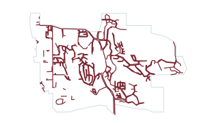 Lines
Streets & Traffic
Sidewalk Inventory
Transportation features including rail, trails and pedestrian walkways with address ranges & names derived from digital orthophotography and GPS.
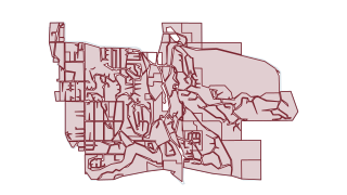 Areas
Property & Zoning
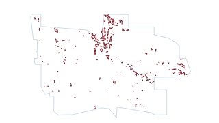
Zoning Districts
GIS data for the City of Newcastle
 Areas
Property & Zoning
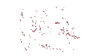
Building Envelopes
GIS data for the City of Newcastle
 Areas
Critical Areas
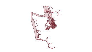
Landslide Deposits
This is a polygon feature class used to delineate landslide deposits using the methods described in the report accompanying these data. Only landslide deposits visible in lidar (light detection and ranging) derivative datasets are delineate
 Areas
Critical Areas
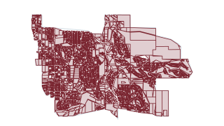
Liquefaction Susceptibility
Liquefaction susceptibility data
 Areas
Property & Zoning
Parcels
GIS data for the City of Newcastle
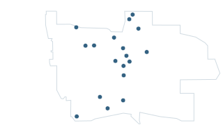 Points
Parks & Trails
Trailheads
GIS data for the City of Newcastle
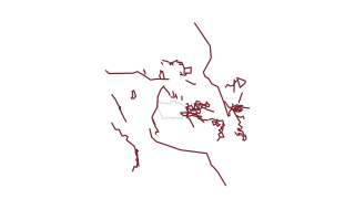 Lines
Parks & Trails
Trails King County
GIS Data for the City of Newcastle
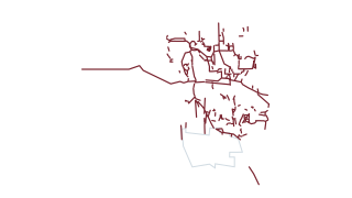 Lines
Parks & Trails
Trails Bellevue
GIS data for the City of Newcastle
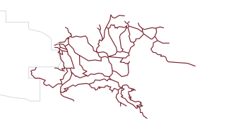 Lines
Parks & Trails
Trails Cougar Mountain
GIS data for the City of Newcastle
 Areas
Parks & Trails
Park Areas Outside City
Park areas that are located outside Newcastle
 Areas
Streets & Traffic
Unopened ROW
GIS data for the City of Newcastle
 Areas
Parks & Trails
Golf Course Boundary
GIS data for the City of Newcastle
 Lines
Streets & Traffic
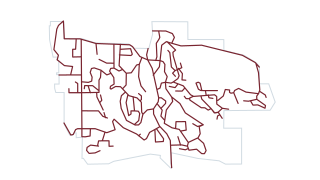
BikeRoutes
Data for bike routes in Newcastle
 Lines
Streets & Traffic
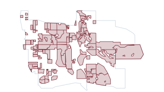
Snow Ice Priority Routes
GIS data for the City of Newcastle
 Areas
Boundaries
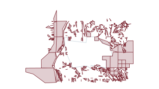
Neighborhoods
GIS data for the City of Newcastle
 Areas
Property & Zoning
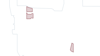
King County Parcels
GIS data for the City of Newcastle
 Areas
Boundaries
School Areas
GIS data for the City of Newcastle
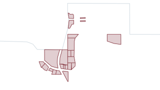 Areas
Property & Zoning
Commercial Areas
GIS data for the City of Newcastle
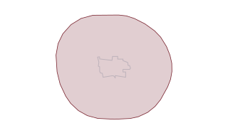 Areas
Boundaries
City Buffer
GIS data for the City of Newcastle
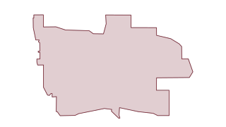 Areas
Boundaries
City Boundary
GIS data for the City of Newcastle
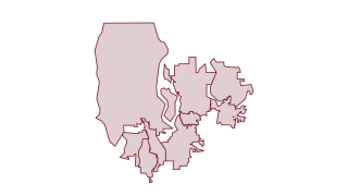 Areas
Boundaries
City Areas
GIS data for the City of Newcastle
 Areas
Property & Zoning
CBC Sectors
GIS data for the City of Newcastle
 Areas
Property & Zoning
CBC Boundary
GIS data for the City of Newcastle
 Areas
Critical Areas
Lake Areas
GIS data for the City of Newcastle
 Areas
Critical Areas
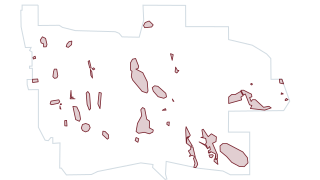
Slopes Over 30 Pct in Stream Buffer Unverified
GIS data for the City of Newcastle
 Areas
Critical Areas
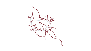
Wetland Buffers Unverified
GIS data for the City of Newcastle
 Lines
Critical Areas
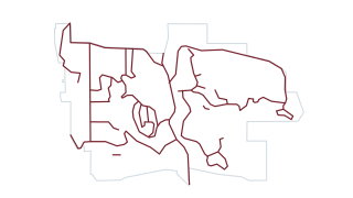
Streams
GIS data for the City of Newcastle
 Lines
Streets & Traffic
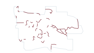
Snow Ice Deicing Routes
GIS data for the City of Newcastle
 Lines
Streets & Traffic
Snow Ice Hot Spots
GIS data for the City of Newcastle
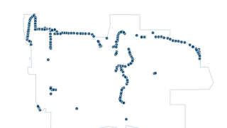 Points
Streets & Traffic
Streetlights PSE
GIS data for the City of Newcastle
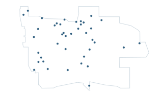 Points
Streets & Traffic
Tube Locations
Tube Locations
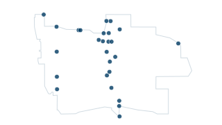 Points
Streets & Traffic
Turning Movement Count Data
Turning Movement Count