
Newcastle Open Data
Find, explore and query the City of Newcastle's map data: parcels and zoning, critical areas, trails and parks, stormwater assets, and snow and ice routes.

- 47
- datasets
- 48,652
- map features
- 6
- categories
What applies at my address?
Zoning, mapped landslide, liquefaction, steep slope and wetland buffer areas, the nearest snow and ice route, and the nearest trailhead.
Recently updated
- AddressPoints
Mar 27, 2026 / Property & Zoning
GIS data for address points
- City Streets
Mar 27, 2026 / Streets & Traffic
GIS data for the City of Newcastle
- Trails Newcastle
Mar 27, 2026 / Parks & Trails
GIS data for the City of Newcastle
- City Park Areas
Mar 27, 2026 / Parks & Trails
GIS data for the City of Newcastle
- Land Uses
Aug 25, 2020 / Property & Zoning
GIS data for the City of Newcastle
- Parcels with Addresses
Aug 21, 2020 / Property & Zoning
Parcels with Addresses
- GSI
Aug 12, 2020 / Stormwater
GSI
- WQ Detention
Aug 12, 2020 / Stormwater
WQ Detention
- swGravityMain
Aug 12, 2020 / Stormwater
Gravity Main
Popular datasets
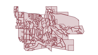 Areas
Property & Zoning
Zoning Districts
GIS data for the City of Newcastle
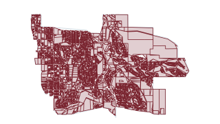 Areas
Property & Zoning
Parcels
GIS data for the City of Newcastle
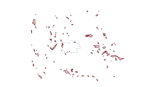 Areas
Critical Areas
Landslide Deposits
This is a polygon feature class used to delineate landslide deposits using the methods described in the report accompanying these data. Only landslide deposits visible in lidar (light detection and ranging) derivative datasets are delineate
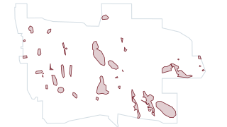 Areas
Critical Areas
Wetland Buffers Unverified
GIS data for the City of Newcastle
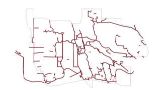 Lines
Parks & Trails
Trails Newcastle
GIS data for the City of Newcastle
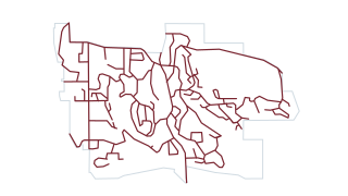 Lines
Streets & Traffic
Snow Ice Priority Routes
GIS data for the City of Newcastle
Newcastle at a Glance
Browse by category
Every public dataset from the City's ArcGIS Hub, grouped by topic.
Newcastle in layers
Zoning, City parks, lakes and streams, landslide deposits, trails, priority snow routes and trailheads, drawn straight from the City’s published layers. Pick a layer to open it, or combine any of them on the map.
Open the mapNewcastle in layers
drawn from this portal’s dataUsing the data
For reference only
The City makes no claim as to the accuracy or completeness of its map data: it is for reference, and property lines, structures, site conditions and zoning should be verified with the City. Layers from King County and the Washington Geological Survey carry their own terms, shown on each dataset page.
Find and use a dataset
Search by name or browse by category. Every layer opens on a map with a table you can filter and query with SQL, downloads as CSV, GeoJSON or GeoParquet, and links to the live ArcGIS service.
Questions about the data?
The City’s GIS contact is gis@newcastlewa.gov.
From the City
- Community Development
Permits, land use and critical-area reviews.
- Public Works
Streets, stormwater, and snow and ice response.
- Current ArcGIS Hub
The City’s open data site that this demo reads from.
Your ArcGIS stays the source
Nothing changes for the City’s GIS team. Data keeps being managed in ArcGIS; this site reads it, can refresh on a schedule, and gives residents a faster way in: search across every dataset, maps and tables that load instantly, an address lookup, and queries that run in the browser.